Maps


WHY ADDRESSCLOUD?
An intuitive, fast and configurable underwriting application
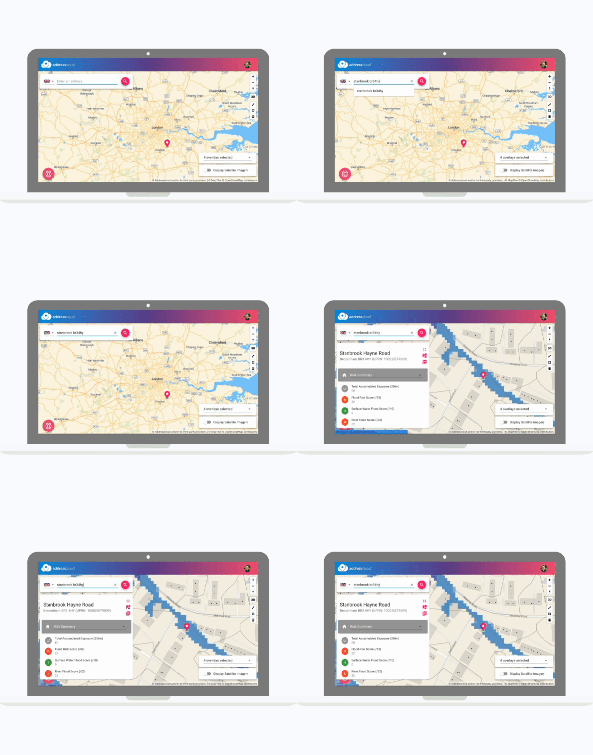
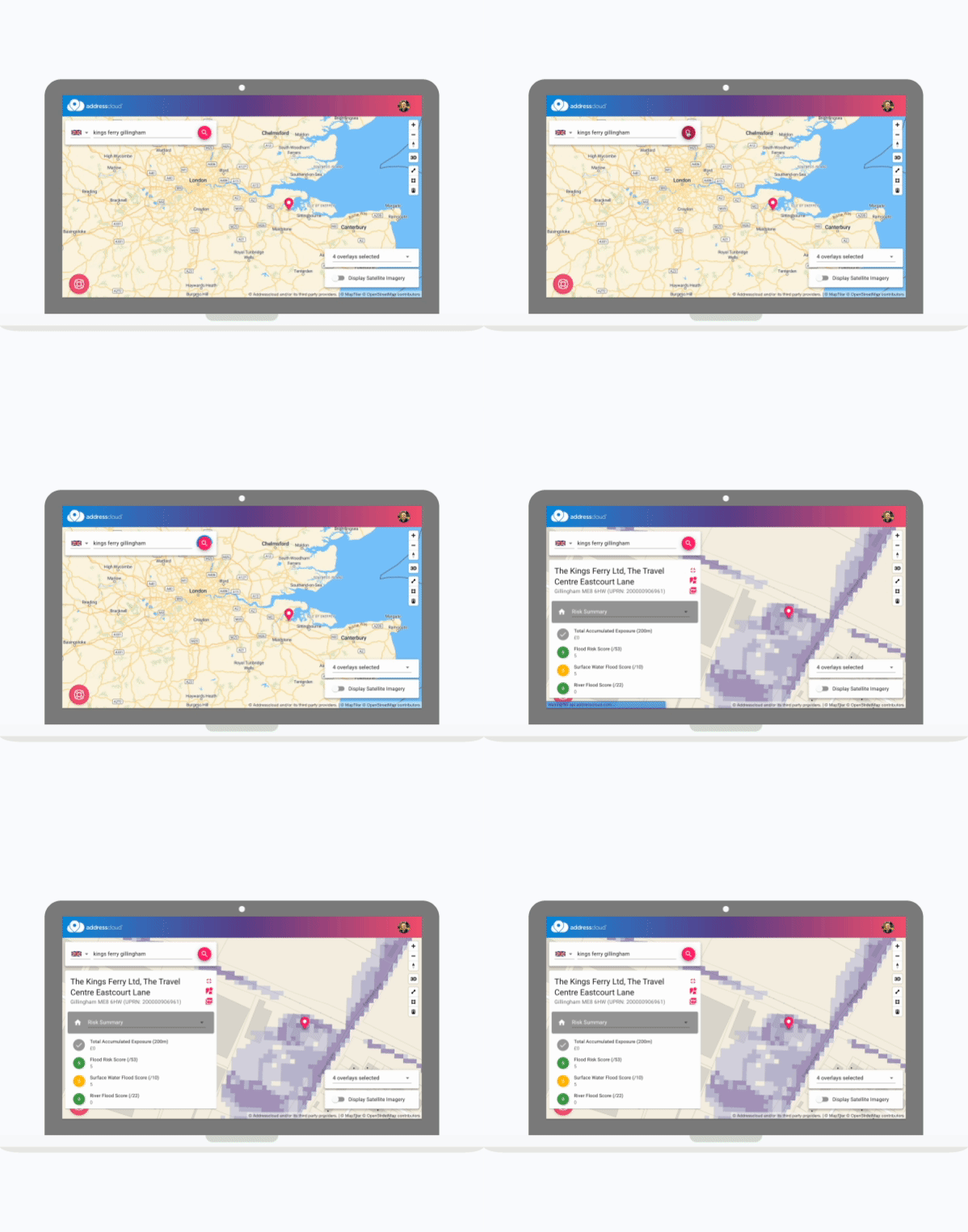
Addresscloud Maps provides insurers and coverholders with the ability to access all of our data and services and overlay the results on a map. Maps is a very useful tool for making more informed decisions on complex referral cases.

Maps has been designed to feel immediately familiar and can be used with little or no training.

Maps is built on the latest UX and mapping technology to be quick to load and is backed by our high performance APIs.

Insurers can configure data attributes, map overlays and RAG scores to enforce underwriting rules for users and coverholders.
Are you underwriting peril scores at building level?
With key perils including flood, subsidence, windstorm, fire, and crime from industry leading data providers, combined with our own unique insight, we have property peril risk covered. Maps allows underwriters to visualise these perils to make more nuanced decisions on complex high value property risks.

Do your coverholders have access to address level peril scores?
Insurers have traditionally provided coverholders and MGAs with postcode files for underwriting as address level scoring can be complex to rollout. Maps provides a simple interface which can be used by both internal users and coverholders to understand risk at rooftop level and trigger referrals.

Can you enhance the audit trail with detailed risk reports?
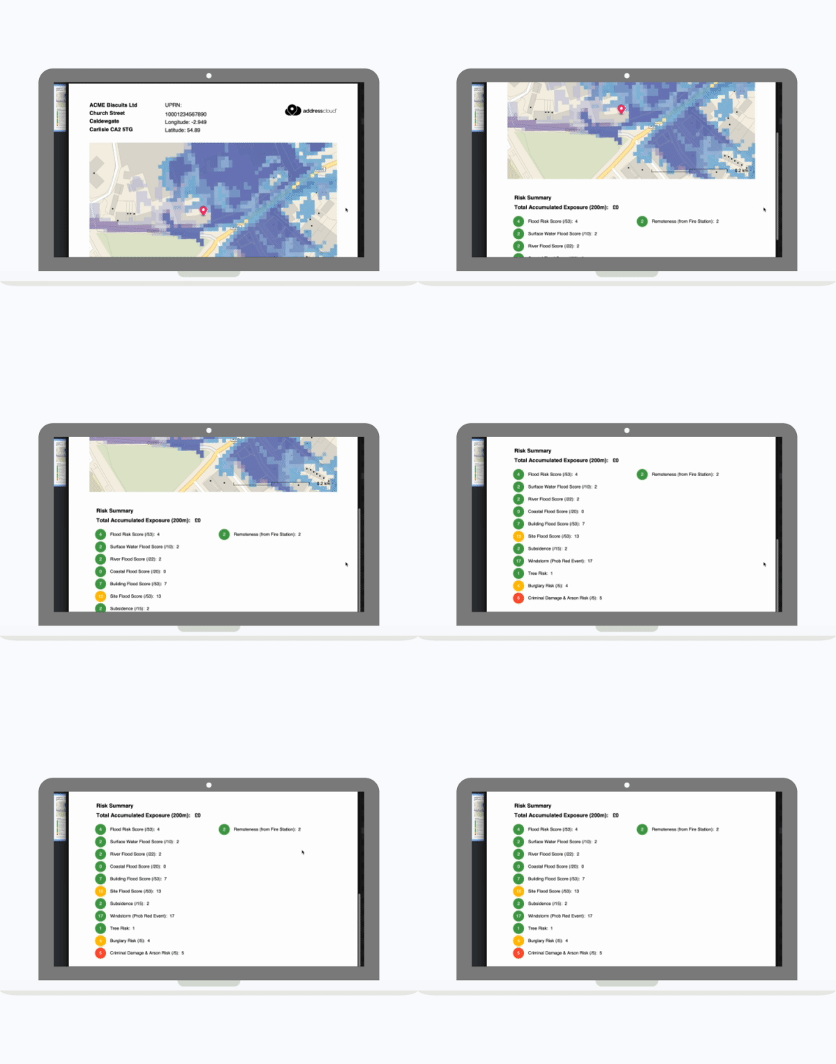
Maps features an advanced PDF reporting capability to capture a detailed snapshot of peril risk for a property which is important for documenting underwriting decisions. Our PDF reports feature scores, property attributes and a map with overlays for a complete reference.

Delivering insurance innovation
Addresscloud services are trusted by the world’s top insurers
Addresscloud in Action
See how Addresscloud services are helping our customers solve real-world challenges


